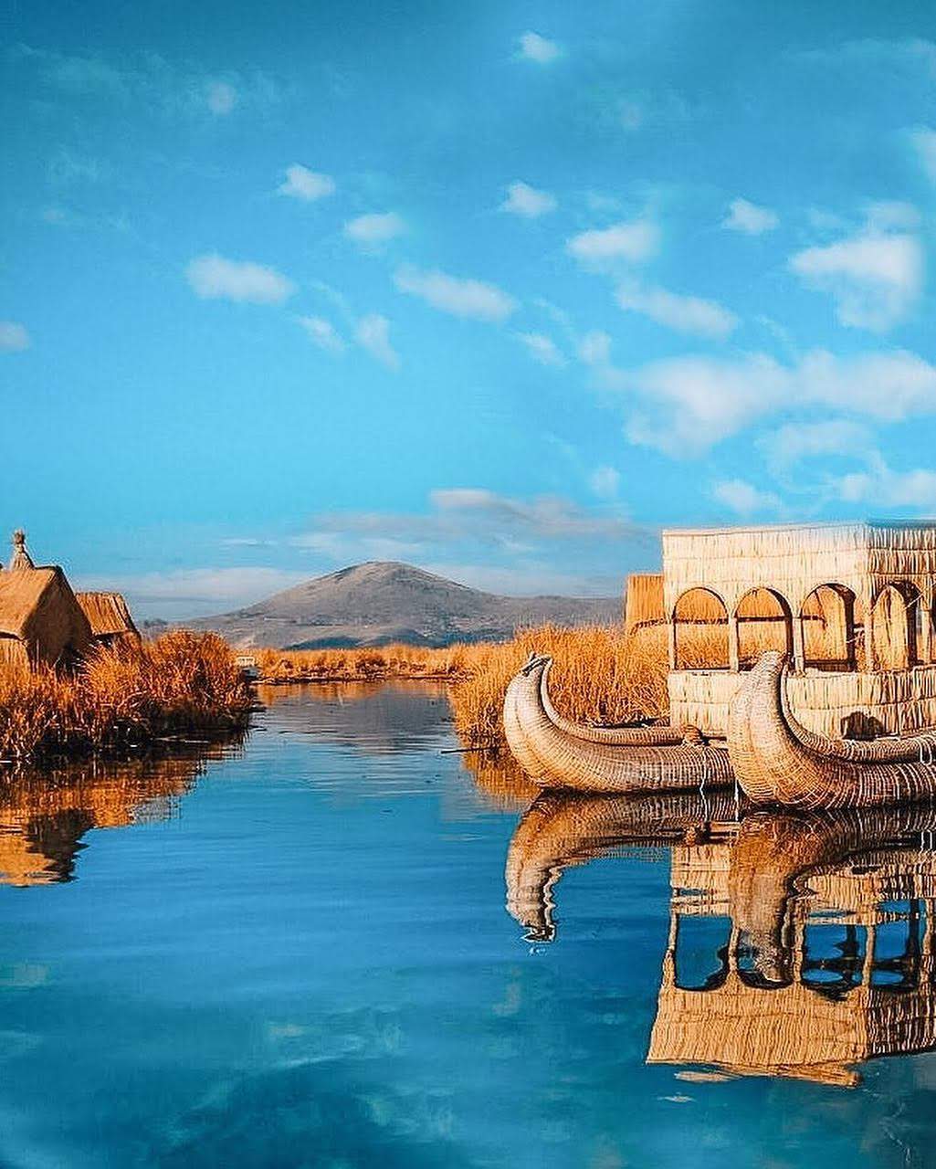
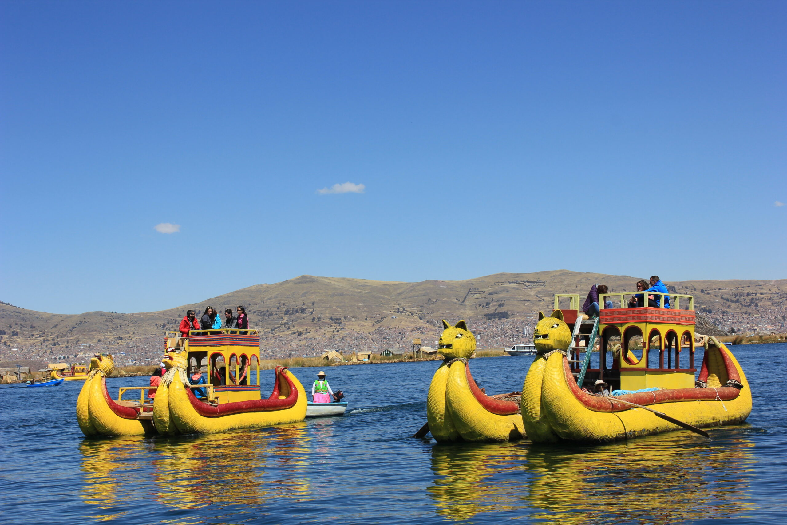
Puno: The Puno region lies on the Altiplano, between 3,812 and 5,500 m.a.s.l., and in the cloud forest and high jungle, between 4,200 and 500 m.a.s.l. The capital of the department is the city of Puno, located on the shores of Lake Titicaca. Puno is a highland city in southeastern Peru and the capital of the district, province and department of the same name. It was first settled by the Puquina and the Uros; around the year 1000, with the fall of the Tiahuanaco culture, the Aymara arrived, and with the expansion of the Inca Empire in 1472 came the Quechua population. The first document to name Puno as such is the Encomienda Grant of August 1, 1535, in which Francisco Pizarro gave the Encomienda of Puno to Gómez de Mazuelas. In 1543, the chronicler Pedro Gutiérrez de Santa Clara described the Tambo of Puno in the Ordinances of Tambos issued by the governor of Peru, Cristóbal Vaca de Castro. Later, in 1563, the first Catholic parish for natives was built under the name San Juan Bautista de Puñuypampa, from the Quechua for “resting place.”
On September 9, 1668, the Spanish town was founded under the name Nuestra Señora de la Concepción y San Carlos, in honor of King Charles II, and was established as the capital of the corregimiento of Paucarcolla. From that date Puno served as a provincial capital, and the Spanish settlement of Nuestra Señora de la Concepción y San Carlos later merged with the native settlement of San Juan Bautista. Eight weeks later, on November 4, a thanksgiving mass was held to solemnize the founding of the new town. After the rebellion of Túpac Amaru II, in 1784 the Intendancy of Puno was created with five corregimientos, and the town of Puno became the capital of the intendancy, that is, a departmental capital, since intendancies are the equivalent of today’s departments. On October 14, 1805, the town of Nuestra Señora de la Concepción y San Carlos was granted a new rank, that of city, by a royal order of Charles IV.
Its festival of the Virgin of Candelaria was declared Intangible Cultural Heritage of Humanity by UNESCO on November 27, 2014.
According to Peru’s National Institute of Statistics and Informatics, Puno is the twentieth most populous city in Peru, with approximately 139,096 inhabitants in 2017. It stretches from the settlement of Uros Chulluni to the northeast, the urban area of the district of Paucarcolla to the north and the Ciudad de la Humanidad Totorani neighborhood to the northwest (road to Arequipa), and extends south to the settlement of Ichu and southwest to the Mi Perú community (road to Moquegua).
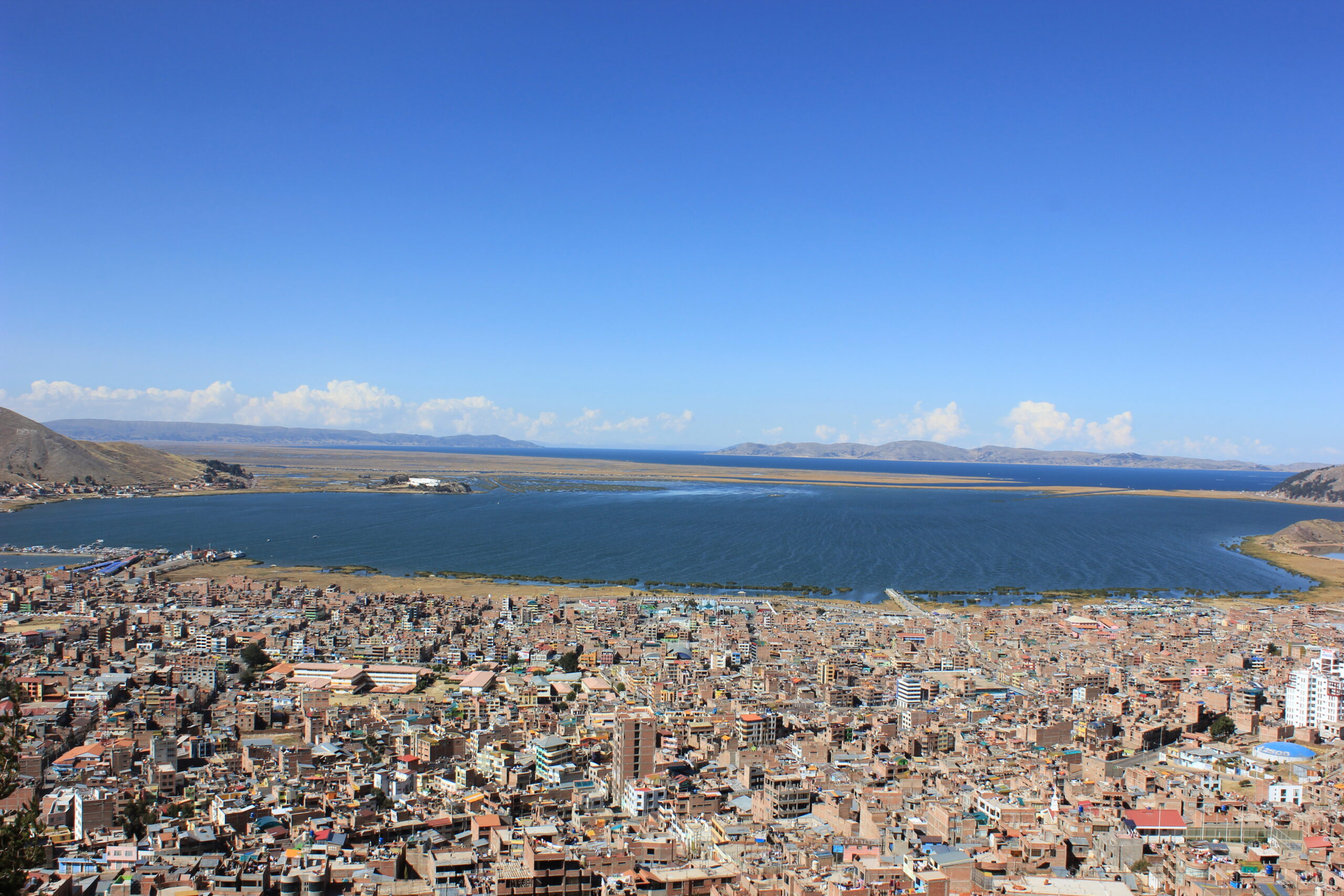
The city occupies the western shore of Lake Titicaca, on the inner bay of Puno (formerly Paucarcolla), on gently rolling terrain (the city center) surrounded by hills. The upper part of the city is semi-flat (Mi Perú community, Yanamayo). Its altitude ranges from 3,810 to 4,050 m.a.s.l. (from the lakeshore to the highest areas). Puno is one of the highest cities in Peru and the fifth highest in the world. It currently covers 1,566.64 hectares, which represents 0.24% of the territory of the province of Puno.